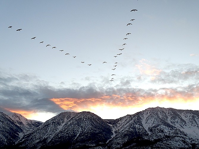
Geese fly into the sunset in this photo submitted by Carson Valley resident Sheryle Lengdorfer.
Winter weather is forecast to return this weekend with a chance of up to 4 inches of snow in Carson Valley and blizzard conditions in the Sierra that may make travel nearly impossible at times, according to the National Weather Service.
A winter storm warning has been issued for Lake Tahoe through 4 a.m. Monday for possible heavy snow.
“(A) classic Sierra storm will bring significant impacts to travel through the mountains this weekend,” National Weather Service Meteorologist Zach Tolby said on Thursday morning. “A strong area of low pressure dropping out of the Gulf of Alaska will entrain subtropical moisture along an ideal southwesterly polar jet stream.”
Heavy snow is expected to arrive in the Sierra today with 18-28 inches at Lake level and 2-4 feet above 7,000 feet.
With lots of moisture, forecasters are anticipating some classic Sierra cement in the mountains where intense snowfall will decrease visibility and make travel difficult through Saturday night.
The forecast for Minden is for 1.5 inches of rain on Saturday.
“Heavy rain and wind will impact western Nevada valleys through (today) with a transition to snow on Sunday,” forecasters said on Friday morning.
Forecasters anticipate snow levels dropping to the Valley floor on Saturday night with a possibility of up to 4 inches in the county seat lasting into Sunday morning.
The storm will arrive accompanied by winds gusting up to 40 mph in the Valley with sustained winds of 17-25 mph all day and into the night.
On the other side of the storm, temperatures will drop an average of 10 degrees or colder with highs reaching the mid-30s and lows in single digits and even below zero if skies clear.
On Thursday, the California Department of Transportation decided to close Monitor Pass for the season. The pass has been closed since Nov. 28, but sometimes reopens depending on the winter weather.
Winter weather saw dirt roads and trails close to motorized vehicles across the Eldorado National Forest, while the Bridgeport Winter Recreation Area opened to snowmobiling.
Permits are required for the recreation area and may be obtained free online at www.bridgeportavalanchecenter.org/
Self-issued permits are also available at the People’s Gate kiosk.
“Dangerous avalanche conditions continue as unstable snowpack exists at all elevations and can easily be triggered by individuals, so be cautious as you head out,” officials warned. “Use good assessment skills and give yourself a wide safety margin as human triggered as well as natural avalanches remain likely.”
Previous Story
Winter weather is forecast to return this weekend with a chance of up to 4 inches of snow in Carson Valley and blizzard conditions in the Sierra that may make travel nearly impossible at times, according to the National Weather Service.
A winter storm watch has been issued for Lake Tahoe from 10 p.m. Friday through 4 a.m. Monday for possible heavy snow.
“(A) classic Sierra storm will bring significant impacts to travel through the mountains this weekend,” National Weather Service Meteorologist Zach Tolby said on Thursday morning. “A strong area of low pressure dropping out of the Gulf of Alaska will entrain subtropical moisture along an ideal southwesterly polar jet stream.”
A quick blast of weather is expected to leave a few inches of snow in the mountains and bring gusty winds tonight as an opener for Saturday’s more powerful storm. Today is expected to be fairly tranquil for most locations in the Valley with a high temperature of 42 degrees. The wind will pick up tonight gusting to 40 mph between 10 p.m. and midnight.
Heavy snow is expected to arrive in the Sierra on Saturday with the possibility of 1-2 inches of snow an hour for 18-24 hours above 5,000 feet.
With lots of moisture, forecasters are anticipating some classic Sierra cement in the mountains where intense snowfall will decrease visibility and make travel difficult through Saturday night.
The forecast for Minden is for 1.5 inches of rain on Saturday.
Forecasters anticipate snow levels dropping to the Valley floor on Saturday night with a possibility of up to 4 inches in the county seat lasting into Sunday morning.
“By Sunday the main cold front will already have moved through the region with cold air, lighter winds and lingering snow showers in place,” Tolby said. “Snow accumulations will quickly taper during the day on Sunday, but travel over Sierra passes could remain quite challenging.”
The storm will arrive accompanied by winds gusting up to 40 mph in the Valley with sustained winds of 17-25 mph all day and into the night.
On the other side of the storm, temperatures will drop an average of 10 degrees or colder with highs reaching the mid-30s and lows in single digits and even below zero if skies clear.
“Storm activity remains in the cards by the middle of next week as another trough is expected to deepen along the West Coast,” Tolby said.
Winter weather saw dirt roads and trails close to motorized vehicles across the Eldorado National Forest, while the Bridgeport Winter Recreation Area opened to snowmobiling.
Permits are required for the recreation area and may be obtained free online at www.bridgeportavalanchecenter.org/
Self-issued permits are also available at the People’s Gate kiosk.
“Dangerous avalanche conditions continue as unstable snowpack exists at all elevations and can easily be triggered by individuals, so be cautious as you head out,” officials warned. “Use good assessment skills and give yourself a wide safety margin as human triggered as well as natural avalanches remain likely.”

Comments
Use the comment form below to begin a discussion about this content.
Sign in to comment