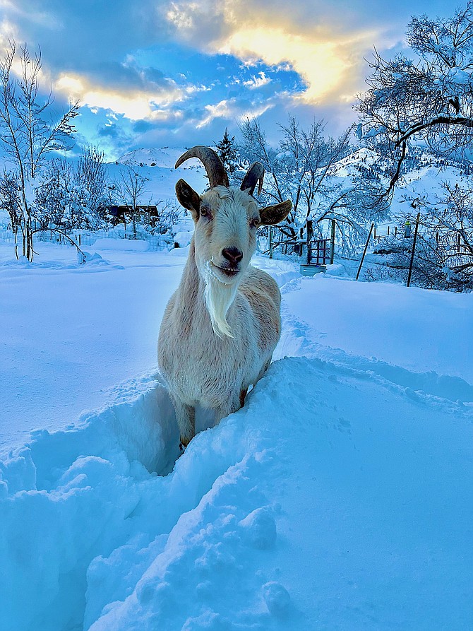
Caleb Knapp sent in this photo of a goat in the snow from Paynesville in Alpine County.
The last thing anyone wants to hear is the word “tricky” after a forecast New Year’s Eve rainstorm turned into 1-2 feet of snow across Carson Valley.
A moderate atmospheric river is expected to arrive in Western Nevada on Wednesday morning, but whether that means rain or snow is up in the air.
“Snow levels will be tricky with this storm and there may be a period Wednesday afternoon when they rise to 6,500-7,500 foot range but stay near 4,000-4,500 feet in Western Nevada,” forecasters said in statement issued on Tuesday morning. “This is a situation where rain occurs around Lake Tahoe while snow or rain-snow mix occurs in Western Nevada.”
Forecasters predicted snow to arrive around 8 a.m. Wednesday, affecting the morning commute in the valleys.
“Another period of snow is expected late Wednesday night into early Thursday morning.”
About an inch of rain is expected to fall from Wednesday morning through Thursday night, with another 2.4 inches of snow over the two days.
Minden Weather Watcher Stan Kapler reported he received a record-setting 4.64 inches of precipitation, and 16 inches of snow over the New Year’s weekend.
That would break a previous record set in 1974 of 2 inches. That brought Minden up to 9.5 inches for the water year during just the first quarter of the water year.

Comments
Use the comment form below to begin a discussion about this content.
Sign in to comment