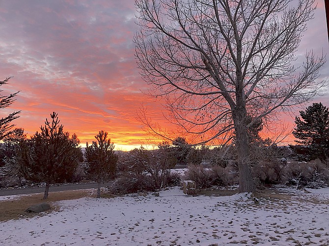
Red sky at morn on Saturday is one indication that a storm is on its way this weekend.
Jeff Garvin | Special to The R-C
Forecasters say it’s possible the Western Nevada valleys could see up to a half-foot of snow between Monday night and Tuesday afternoon.
A winter storm watch has been issued 10 p.m. Monday and lasting through 4 p.m. Tuesday by the National Weather Service in Reno.
According to the watch, Carson Valley residents could see 2-6 inches of snow, with 6-12 inches above 5,000 feet.
“Travel could be very difficult to impossible,” forecasters warned. “The hazardous conditions could impact commutes. Secure holiday decorations to prevent them from blowing away.”
Residents anticipate a wide range of snow totals depending on elevation as snow levels fluctuate between the 4,500- and 5,500-foot range.
There might be snow, but there will almost certainly be wind as the front arrives on Sunday.
A wind advisory is in effect across Western Nevada 2 a.m. to 10 p.m. Sunday, with south to southwest winds 15-25 mph, gusting up to 50 mph in places. The brunt of the wind is forecast arrive in Carson Valley around 10 a.m. Sunday.
Wind prone locations, like highways 395 and 88 through Carson Valley could see 20-35 mph winds, gusting to 60 mph.
Residents should be prepared for power outages and falling tree branches as a result of the wind, which will die down as rain arrives on Sunday night.
There’s a small chance of light snow early Sunday morning, but rain is more likely in the Valley.