October 25, 2022
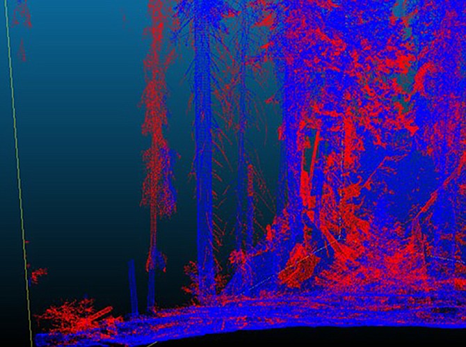
Ladder fuel loss from the 96,000-acre Ferguson Fire in the Sierra Nevada in 2018 is captured with LiDAR. Red indicates biomass that was consumed in the fire, blue indicates biomass that survived the fire.
Big data modeling, forest fuels mapping aids in mitigating catastrophic wildfire risk
Comments
Use the comment form below to begin a discussion about this content.
Sign in to comment